Map illustrators
Map illustrators
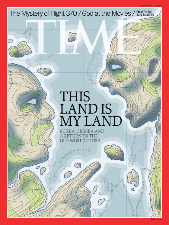
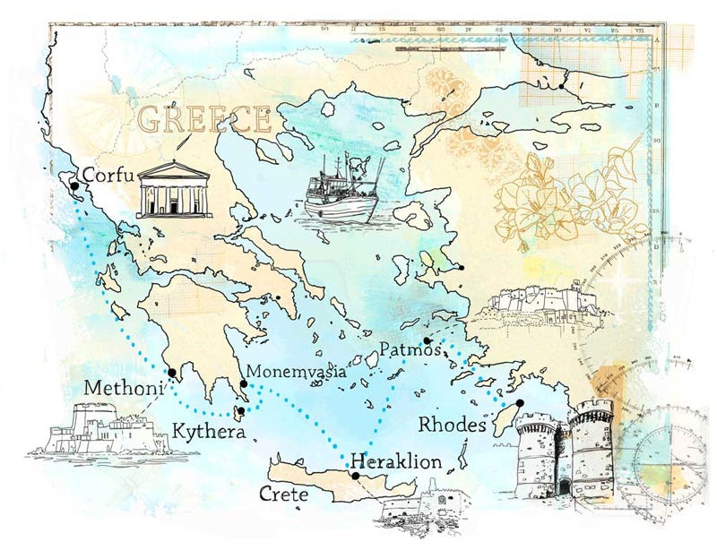
Without the thought-provoking and artful work of the map illustrator, we’d be lost much of the time. To show us the way, map illustrators chart a course, highlighting landmarks and attractions along a route in a style that emphasizes the hand-drawn quality of mapping.
Map illustrators often take the high road showing us the view from above: from an aerial or oblique perspective. They bring landscape and historic highlights and street patterns into view.
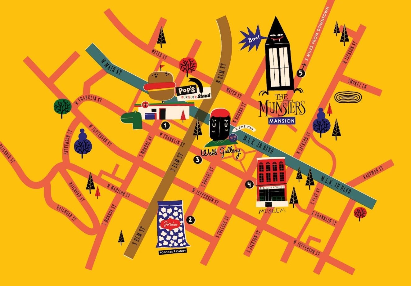
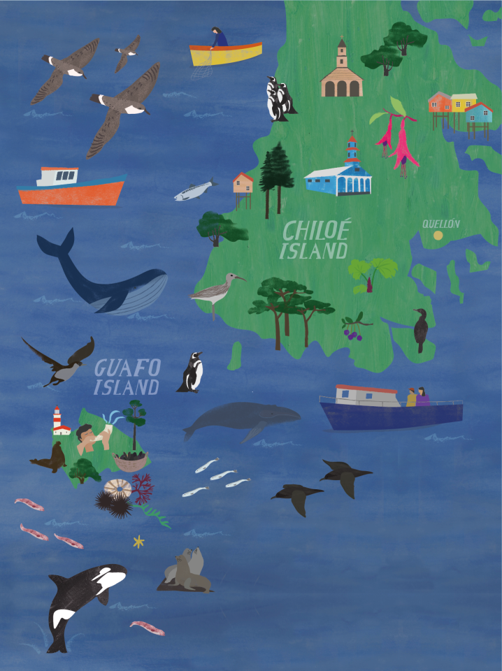
Whether depicting the attractions of a tourist town, penning a colorful map of a local zoo, or delineating a color-coded city map, map illustrators usually sprinkle their maps with drawings and sketches known as icons.
With the same spirit of adventure as the world’s great explorers like Vasco de Gama, Ponce de León, and Marco Polo, map illustrators illuminate the road less traveled, finding a happy confluence point between the known and unknown.
While not always an accurate rendition of distances between attractions, map illustrators often use pictorial landmarks to gauge location and distance.
A broad spectrum of styles and techniques are represented in the work of map illustrators. They label items on their maps with appropriate type and symbols not only to designate attractions but to create a feeling. Map illustrators design icons and a map legend to assist in reading their maps.
The innate charm of map illustration lies in the “hand-made” quality of a one-of-a-kind design. Only an illustrated map will take you to the pot of gold at the end of the rainbow.
